
Precision Aerial Data for Land & Infrastructure
Engineering-grade aerial documentation for construction, infrastructure, roofing, utilities, and commercial property.
Services
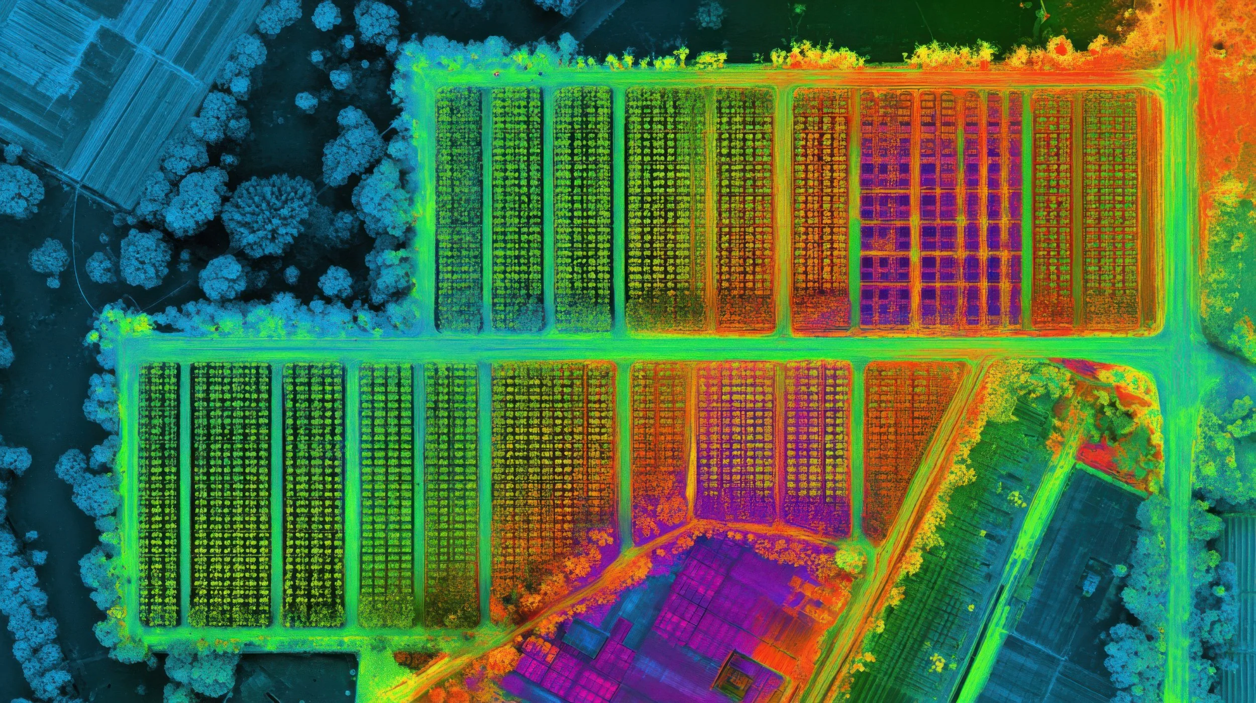
Thermal UAV technology provides a wide range of aerial inspection and data-gathering capabilities across multiple industries. By detecting heat signatures invisible to the naked eye, thermal drones can help identify issues quickly, safety, and efficiently while reducing the need for manual inspections. It can also be used for public safety, wildlife & environmental surveys, and agricultural analysis.
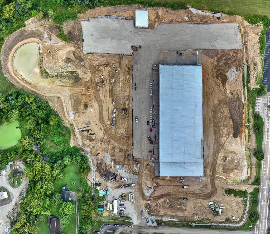
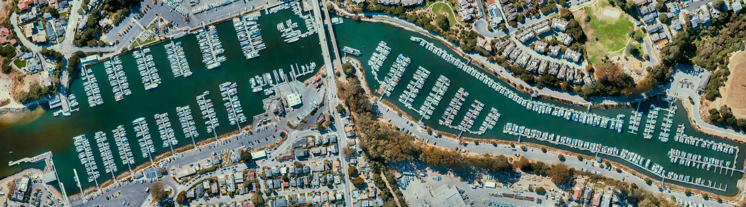
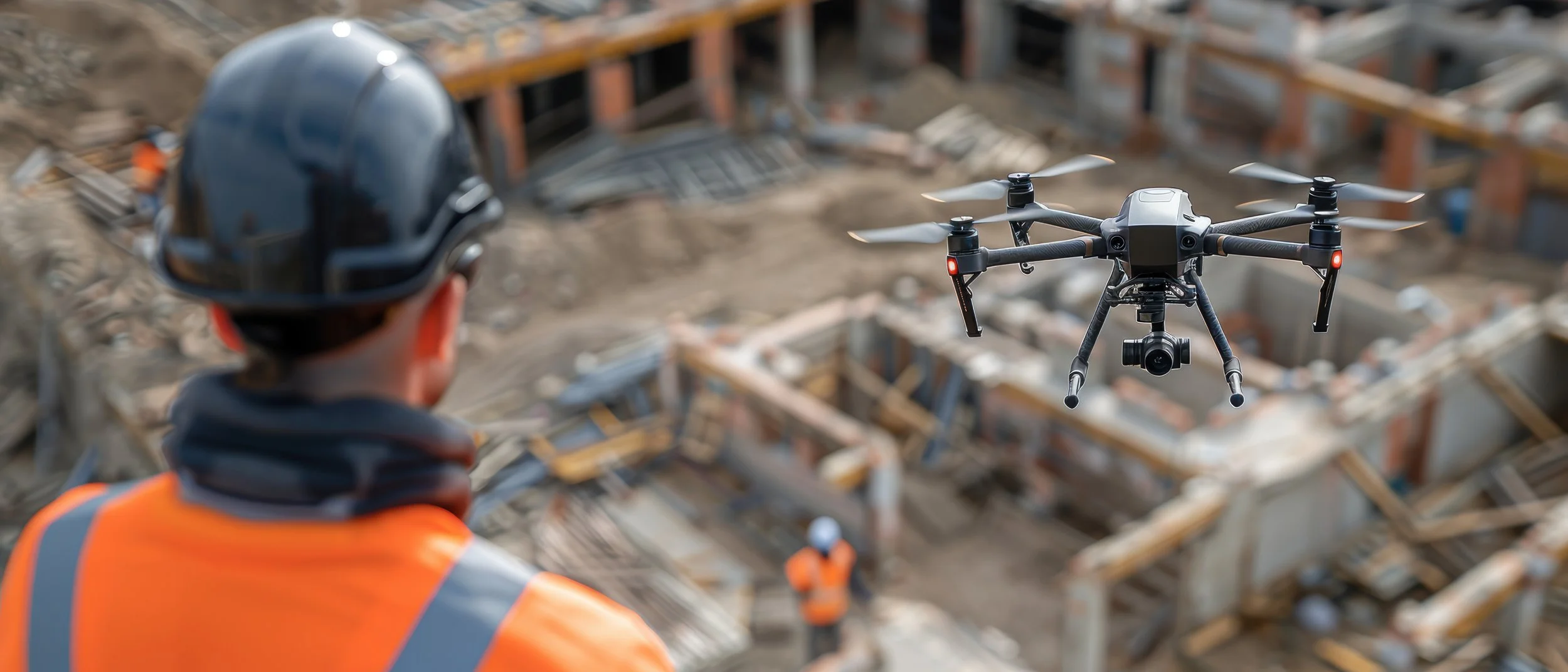
Ashlar Aerial Solutions provides high-resolution orthomosaic mapping services for land, construction, and infrastructure projects. Using advanced drone technology, we capture and process accurate aerial imagery into detailed, geo-referenced maps that support planning, documentation, analysis, and project oversight. Orthomosaic maps offer a clear, up-to-date view of large areas with precise spatial accuracy, making them ideal for development, site monitoring, progress tracking and property evaluation.
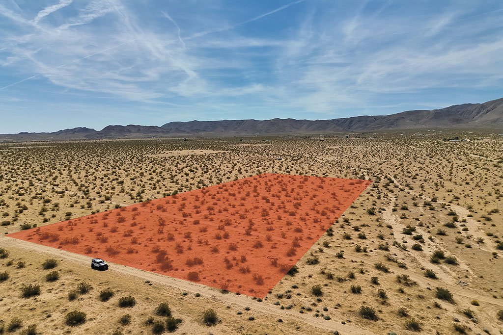
Ashlar Aerial Solutions provides professional aerial photography, videography, and property documentation services for vacant land, remote parcels, and difficult-to-access properties. Using advanced drone technology, our rugged 4WDs, and adventurous pilots - we give property owners, buyers, and investors a clear understanding of land conditions. Our services include high-resolution aerial photography, cinematic video, boundary and terrain overlays, and detailed written property reports covering visible land conditions, access points, nearby utilities, surrounding development activity, neighboring property use, and other valuable site observations.

Ashlar Aerial Solutions provides UAV support services that can assist public safety, emergency response, and security operations with rapid aerial awareness and enhanced visibility. Drone technology allows agencies and organizations to safely assess large areas, difficult terrain, or low-visibility environments in real time while reducing risk to personnel on the ground. Applications may include search-and-rescue support, missing person or animal searches, situational awareness during emergencies, perimeter and property security assessments, traffic or incident scene documentation, and thermal imaging operations in low-light conditions. Equipped with advanced imaging and thermal capabilities, UAV platforms can help improve response efficiency, visibility, and overall operational awareness.
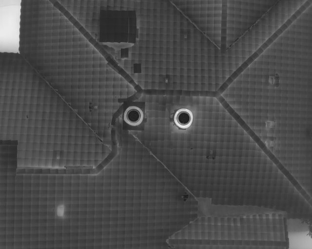
Ashlar Aerial Solutions provides safe, efficient aerial inspection services for roofs, structures, and properties using advanced drone and thermal imaging technology. UAV inspections allow for detailed visual assessments of hard-to-reach or potentially hazardous areas without the need for ladders, lifts, or extensive manual access.
Our inspection services can help identify visible damage, drainage concerns, heat loss, moisture intrusion, roof wear, and other potential issues affecting residential, commercial, or industrial properties. High-resolution imagery and thermal data provide clients with clear documentation and actionable insight while minimizing disruption, improving safety, and reducing inspection time.
Ashlar Aerial Solutions also provides custom aerial imaging and documentation services tailored to unique project needs. From cinematic property footage and event coverage to specialized aerial operations, we work with clients to deliver high-quality visual content and aerial perspectives for a wide range of applications.