
 Image 1 of 1
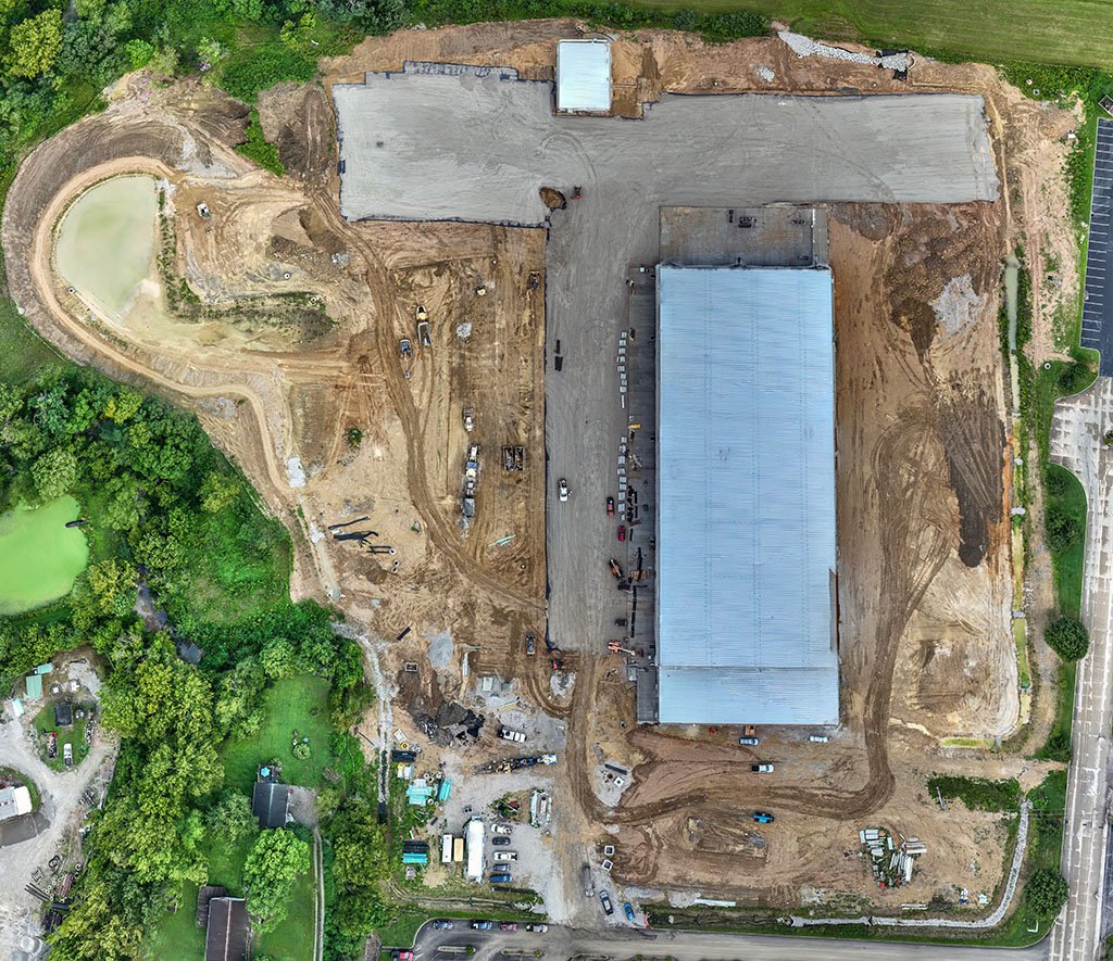
Ashlar Aerial Solutions provides high-resolution orthomosaic mapping services for land, construction, and infrastructure projects. Using advanced drone technology, we capture and process accurate aerial imagery into detailed, geo-referenced maps that support planning, documentation, analysis, and project oversight. Orthomosaic maps offer a clear, up-to-date view of large areas with precise spatial accuracy, making them ideal for development, site monitoring, progress tracking and property evaluation.
Ashlar Aerial Solutions provides high-resolution orthomosaic mapping services for land, construction, and infrastructure projects. Using advanced drone technology, we capture and process accurate aerial imagery into detailed, geo-referenced maps that support planning, documentation, analysis, and project oversight. Orthomosaic maps offer a clear, up-to-date view of large areas with precise spatial accuracy, making them ideal for development, site monitoring, progress tracking and property evaluation.