
About Ashlar Aerial Solutions
Ashlar Aerial Solutions delivers precision aerial mapping, inspection, and thermal imaging for land, infrastructure, and property - turning data into clear, actionable insight.
Founded with a focus on professionalism, precision, and practical value, Ashlar Aerial Solutions combines advanced drone technology with a commitment to reliable service. We work with property owners, developers, contractors, and businesses to provide high-quality aerial data and imaging solutions tailored to real-world news.
Credentials
FAA Part 107 Certified
Insured Operations
Thermal Imaging Capabilities
Advanced Drone Platforms
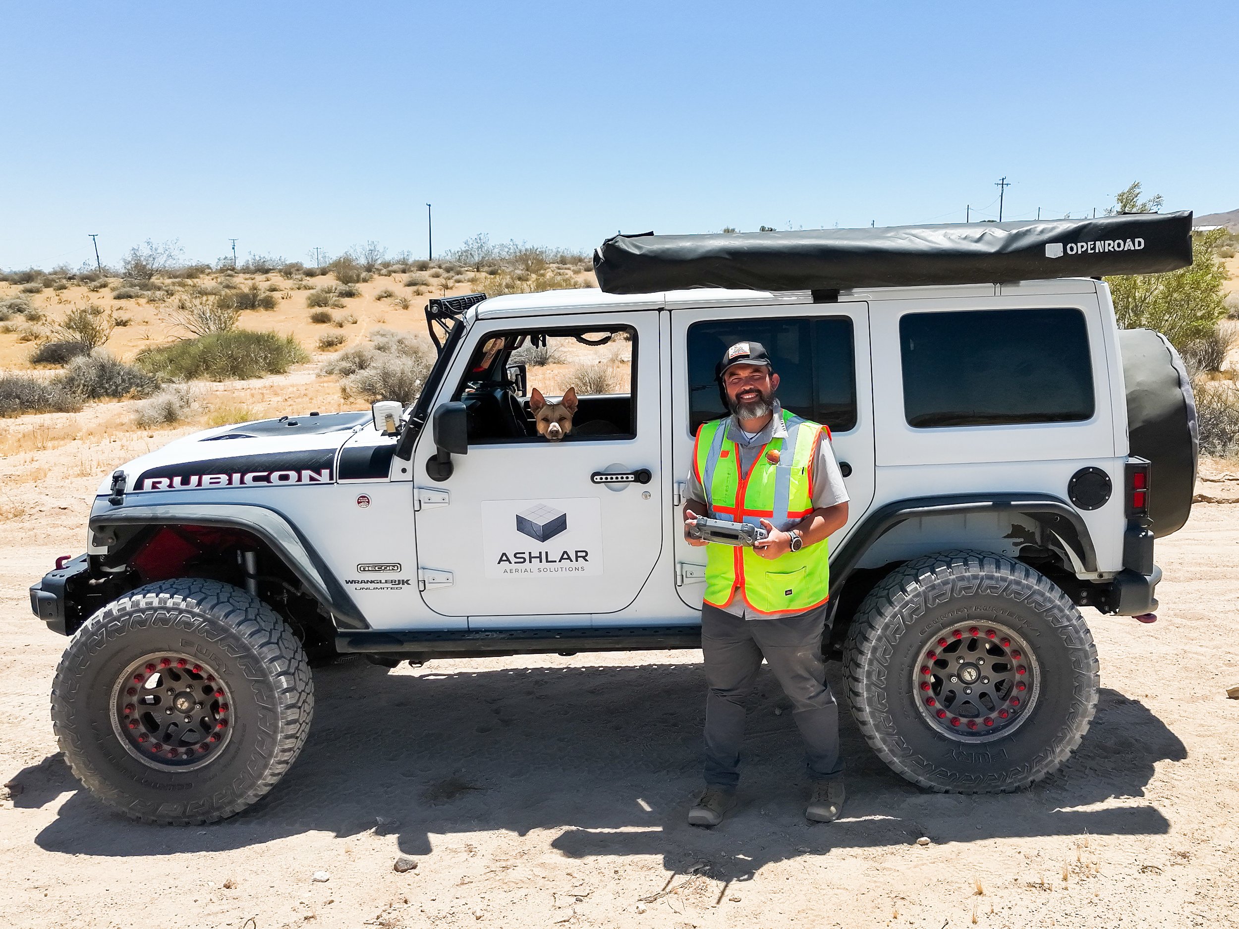
Pilot (and Founder) Andrew Perry on a vacant land shoot in the Mojave Desert.