
 Image 1 of 1
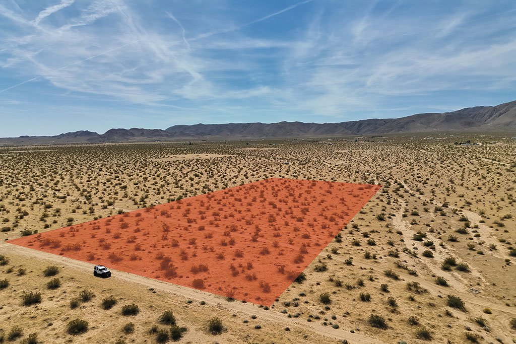
Ashlar Aerial Solutions provides professional aerial photography, videography, and property documentation services for vacant land, remote parcels, and difficult-to-access properties. Using advanced drone technology, our rugged 4WDs, and adventurous pilots - we give property owners, buyers, and investors a clear understanding of land conditions. Our services include high-resolution aerial photography, cinematic video, boundary and terrain overlays, and detailed written property reports covering visible land conditions, access points, nearby utilities, surrounding development activity, neighboring property use, and other valuable site observations.
Ashlar Aerial Solutions provides professional aerial photography, videography, and property documentation services for vacant land, remote parcels, and difficult-to-access properties. Using advanced drone technology, our rugged 4WDs, and adventurous pilots - we give property owners, buyers, and investors a clear understanding of land conditions. Our services include high-resolution aerial photography, cinematic video, boundary and terrain overlays, and detailed written property reports covering visible land conditions, access points, nearby utilities, surrounding development activity, neighboring property use, and other valuable site observations.